
PRESUMPSCOT WATER TRAIL
Below is our new interactive paddling map. Whether you are just looking for a quick float or plan to negotiate the entire river, this map is a great resource.
Zoom in to see see parking and put-in/haul-out sites all along the river and major tributaries.
Click on any of the icons for more information in a pop-up window. You can find out more about sections of the river, portage routes, parking areas, put-in/haul-out sites, and dams. Access the legend by clicking in the upper left.
Please see “Choose Your Own Adventure” section below the map to find the paddle section that best fits the experience you are looking for.
Choose Your Own Adventure:
Family-Friendly sections (easy launches and take-outs and flat water):
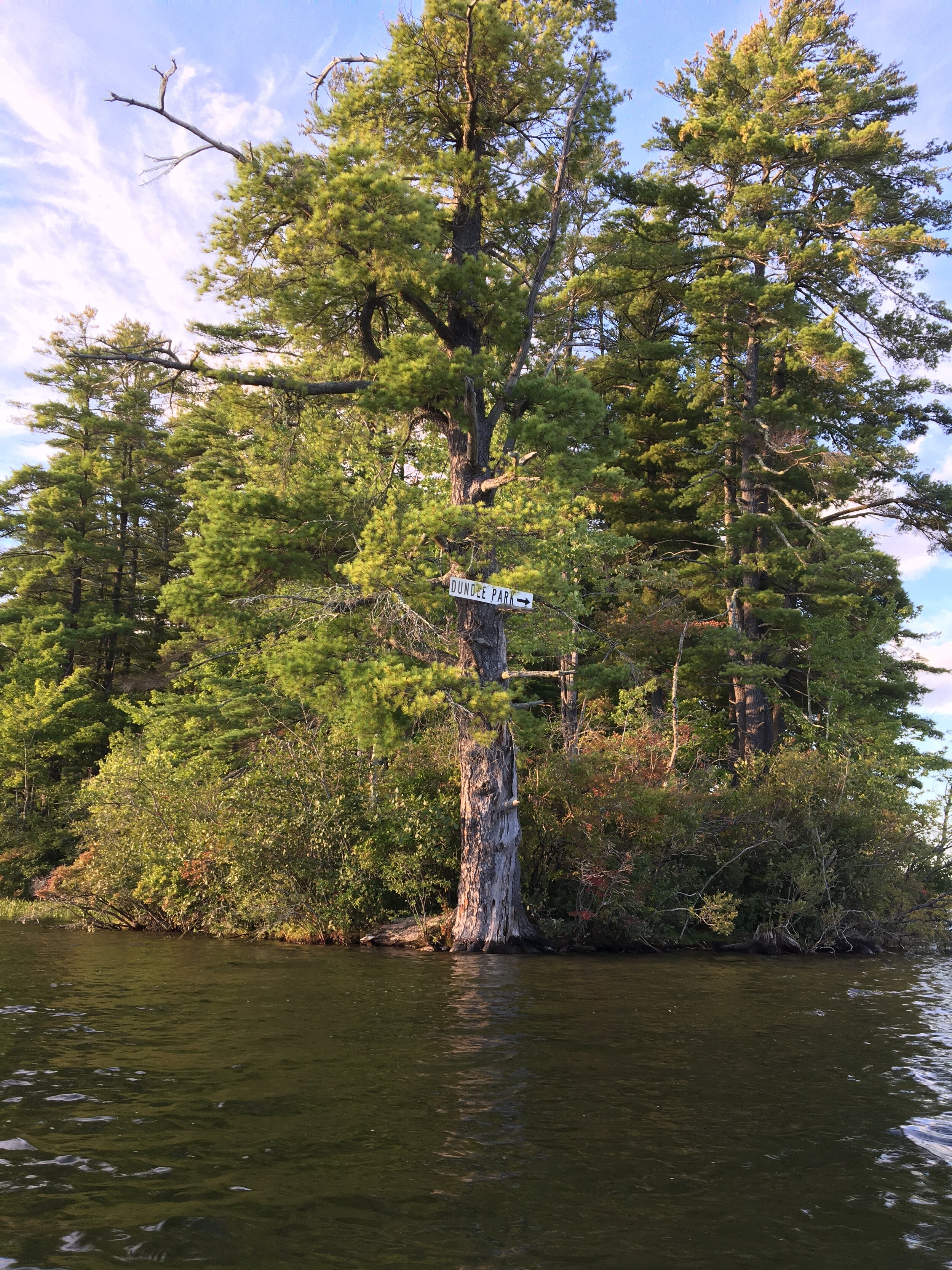
Dundee Pond - Windham Center Road (Windham) to Dundee Road(Gorham)
North Gorham Pond (Eel Weirs Falls to North Gorham Dam)
Longest section without a portage: Canal Street (Gorham) to Mill Lane (Westbrook)
Most scenic section: Gambo Road (Gorham) to Hawkes Preserve (Gorham)
Best swimming before/after your paddle: Dundee Park in Dundee Pond sectioon
Best link to ocean paddling: Walton Park (Falmouth) to Martin's Point Bridge (Portland)
Best remote islands: North Gorham Pond (Eel Weirs Falls to North Gorham Dam)
Best fishing: Little River, Pleasant River
Parking/Launch Sites that Connect to the Sebago to the Sea Land Trail:
Parking on Gambo Road, Partidge Lane (Shaw Park), Soccer Drive (Gorham)
Mallison Road (Gorham)
Lincoln Street Ice Rink (Westbrook)
Ash Street, Foster Street, Riverbank Park, Brown Street, Fraser Field (downtown Westbrook)
Route 302 at Riverton Trolley Park (Portland)
Blackstrap Road (Falmouth)
Other Parking/Launch Sites that Connect to Land Trails:
Park at the end of Dundee Road to walk the Cummings Preserve or paddle to Gambo Road (Gorham)
Park on Gambo Road or at Shaw Park to walk the Gambo Preserve and Shaw Park trails or paddle to Mallison Road (Gorham)
Park at the end of Towpath Road to walk the Hawkes Preserve trails or paddle upstream to Gambo Road (Gorham)
Park on Route 302 to walk the Riverton Trolley Park trails or paddle up- or downstream. (Westbrook-Portland)
Park on Blackstrap Road to walk the McCrann Preserve trails or paddle the West Branch Piscataqua (Falmouth)
Park on Allen Ave Extension to walk trails at the Town of Falmouth’s Walton Park or Presumpscot Falls Park or to paddle to the base of Presumpscot Falls or out to Casco Bay.
Places to rent a kayak/canoe: Dundee Park (Windham), Shaw Park (Gorham).
Please note that rentals are seasonal and also may be affected by COVID restrictions/closures. Please call (see links above) to confirm rental availability.
River Safety and Etiquette
Be river smart. People have died while paddling and swimming on the Presumpscot River. Due to the multiple impoundments along the river, both built and natural hazards require careful attention and navigation. Heed warning signs, and stay out of roped-off areas at all dams.
Remember and wear personal flotation devices (PFDs). Maine law requires children (10 years and under) to wear PFDs at all times. Adults must have one PFD per person readily available in the boat.
Be mindful of additional hazards on the river, including:
Mapped hazards requiring careful navigation and advance planning, including dams, waterfalls, and rapids.
Swift currents during high water and around hazards.
Strainers, including submerged trees, branches, and debris.
The potential for hypothermia, particularly during the psring runoff when waters are at their coldest.
Rapidly changing weather conditions, especially fast-moving thunderstorms bringing lightning and heavy winds.
Variable water flows related to dam releases and tides.
Show respect for wildlife, land owners, and shorelines.
Give animals a wide berth and be mindful of noise levels.
Respect private property and ask permission before use. Information containued in the above map does not imply landowner permission. Picnic and launch your boat on established surfaces.
Carry in, carry out. Pack out trash left by others.
Be considerate of others recreating on the river. Park sensibly and avoid limiting river access for others. Keep groups together and stay clear of people fishing
Be on the lookout for invasive plants. Variable leaf milfoil has been documented in the upper main stem of the river. Before and after your trip, inspect boats, paddles, and trailers, and dispose of any plants that are discovered in the trash.
About the River
From source to sea, the Presumpscot River flows 25 miles between Sebago Lake and Casco Bay, dropping 270 feet in elevation. Although the main stem is relatively short (by Maine standards), the Presumpscot enjoys long and rich natural and cultural histories best experienced at water level.
The name "Presumpscot" is believed to have been shared by a local Abenaki village of the same name and translates as "river of many rough places." Early colonial settlers referred to the river as being "a foot deep in fish." With increased industrialization and mill development along its banks, the Presumspcot later came to be described as being "a foot deep in foam."
Today, the Presumpscot is a river in recovery. The water is cleaner than it was 50 years ago and migratory fish, including alewife and shad, are returning by the tens of thousnads. For the nearly 25% of Mainers living the greater Portland region, the Presumpscot has become a favorite recreational playground for paddling, swimming, fishing, and shoreline hiking and snowshoeing.
Currently, seven dams are located along the Presumpscot creating flat water paddling conditions upstream and swifter water sections downstream.
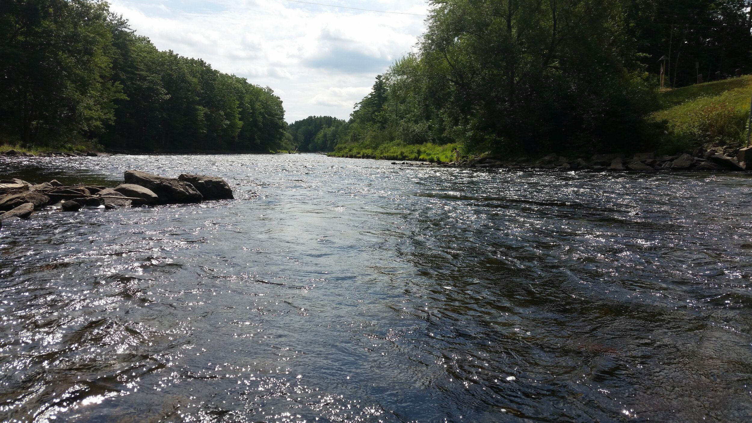
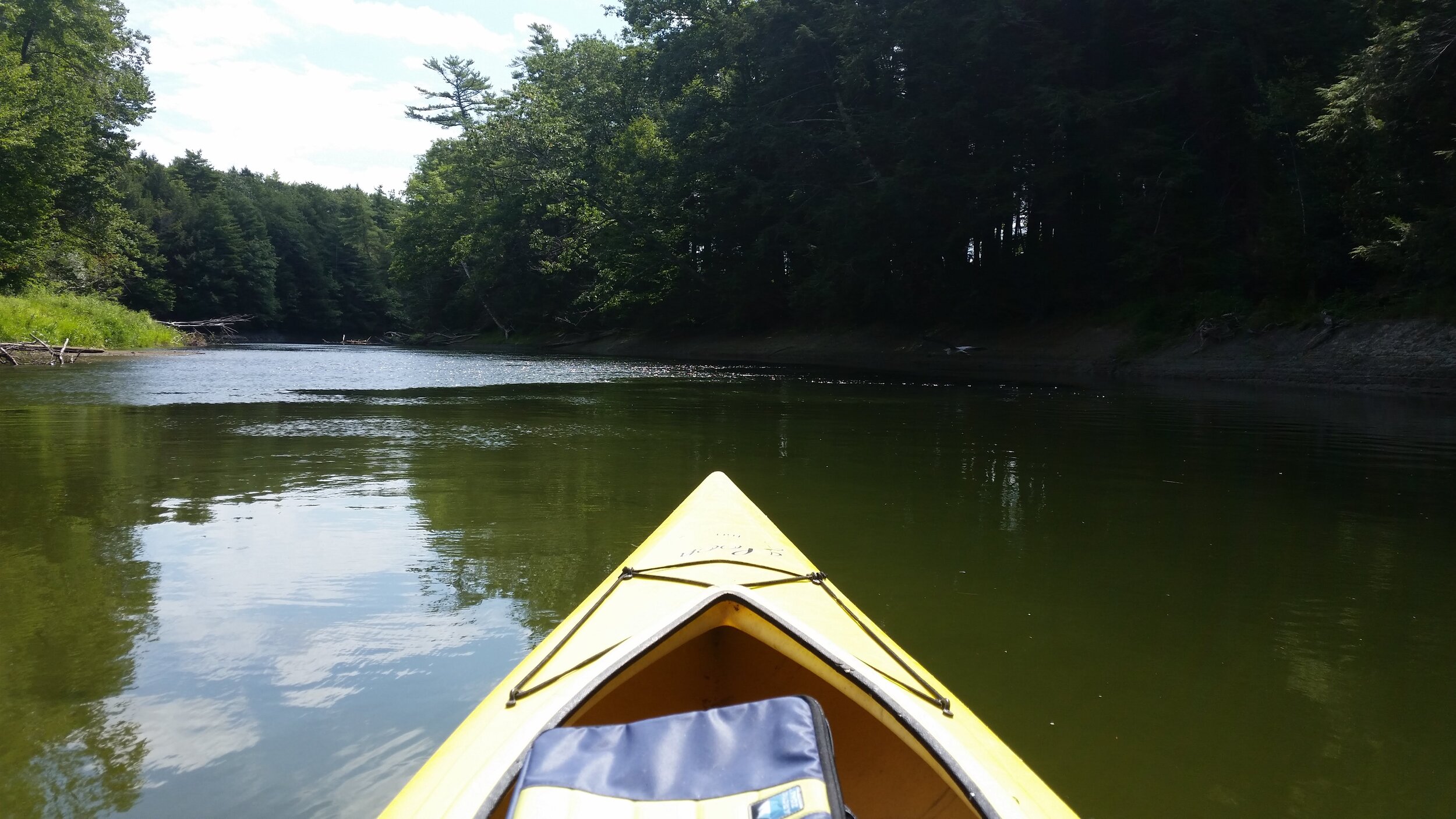
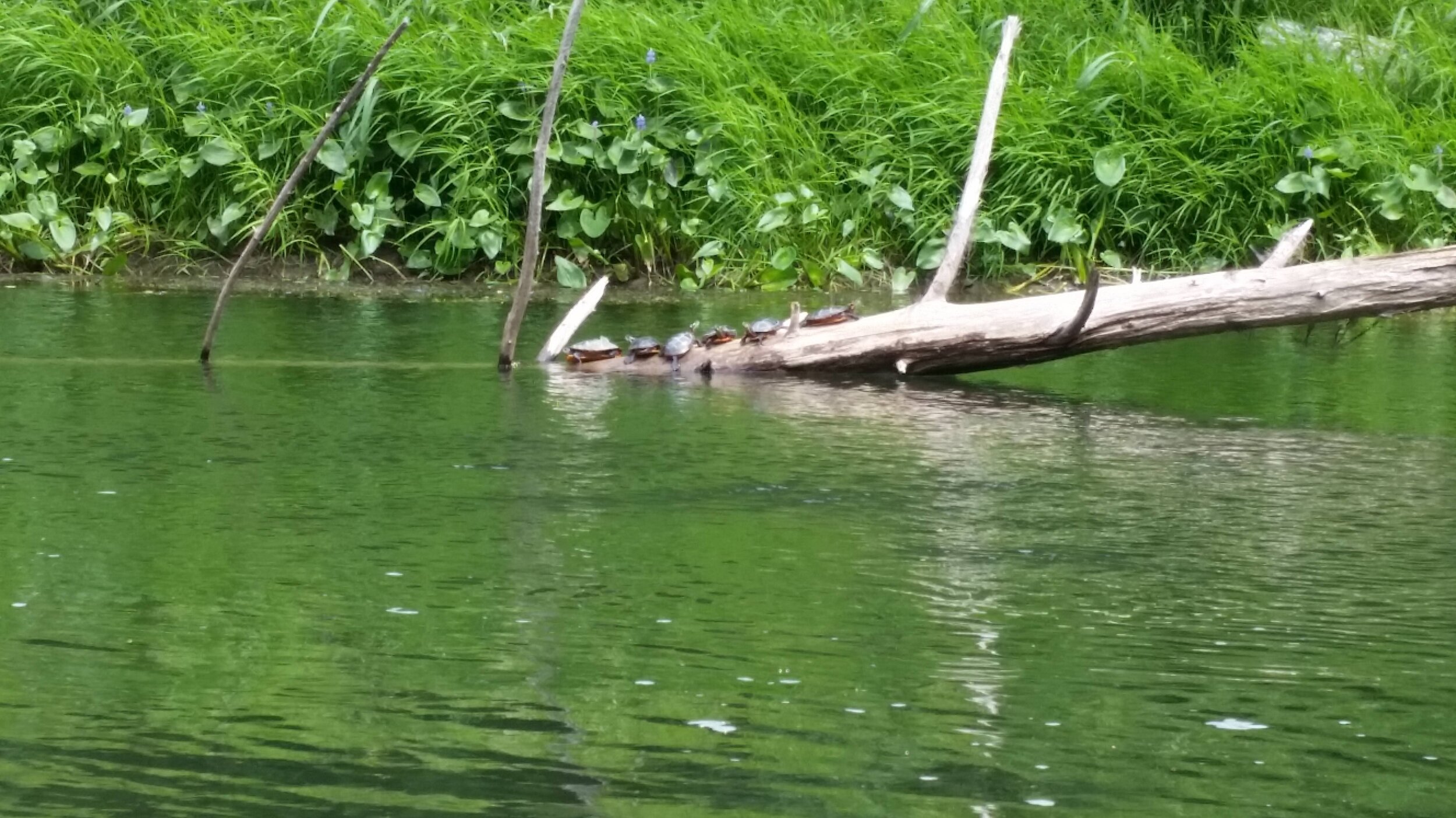
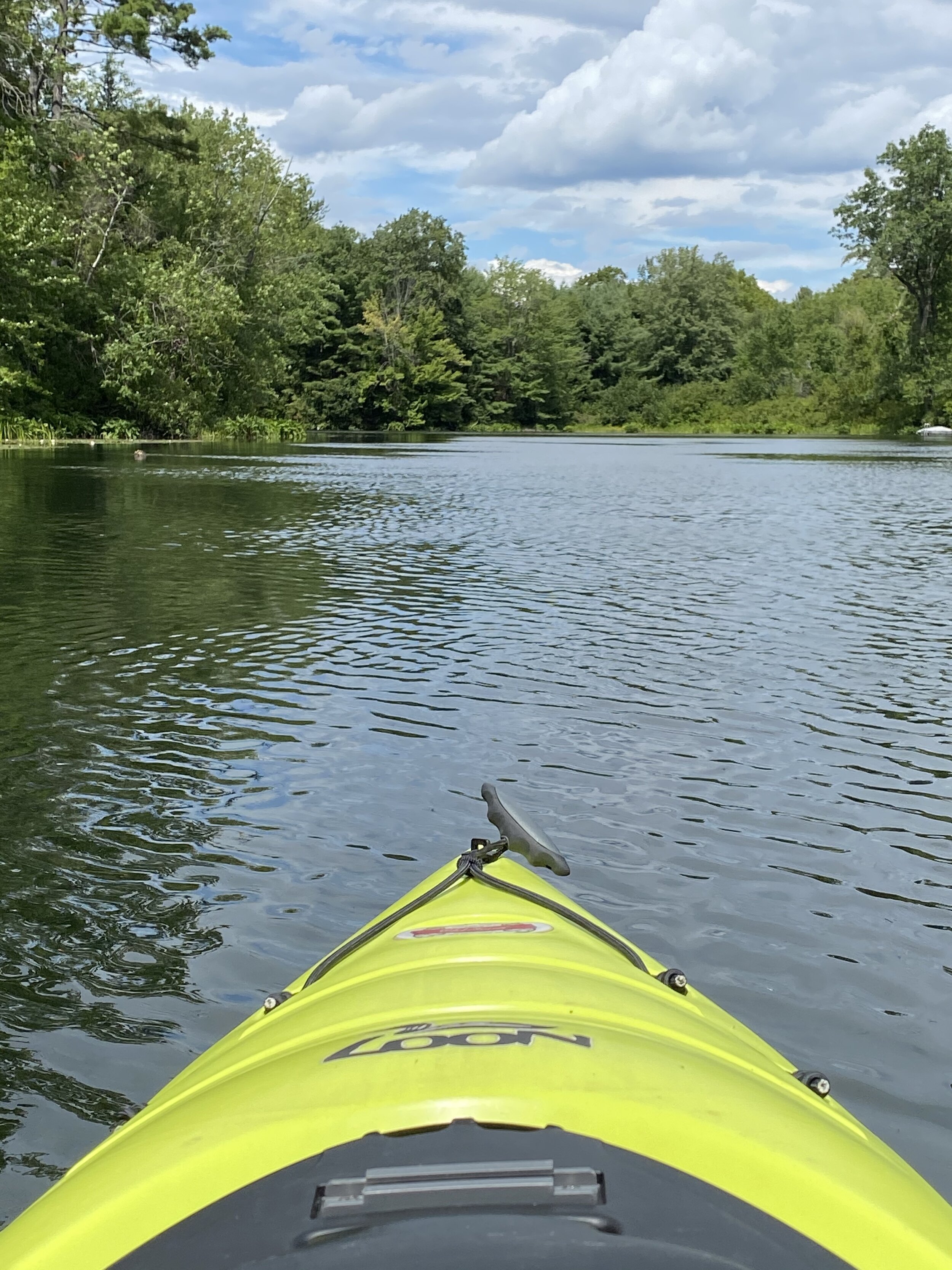
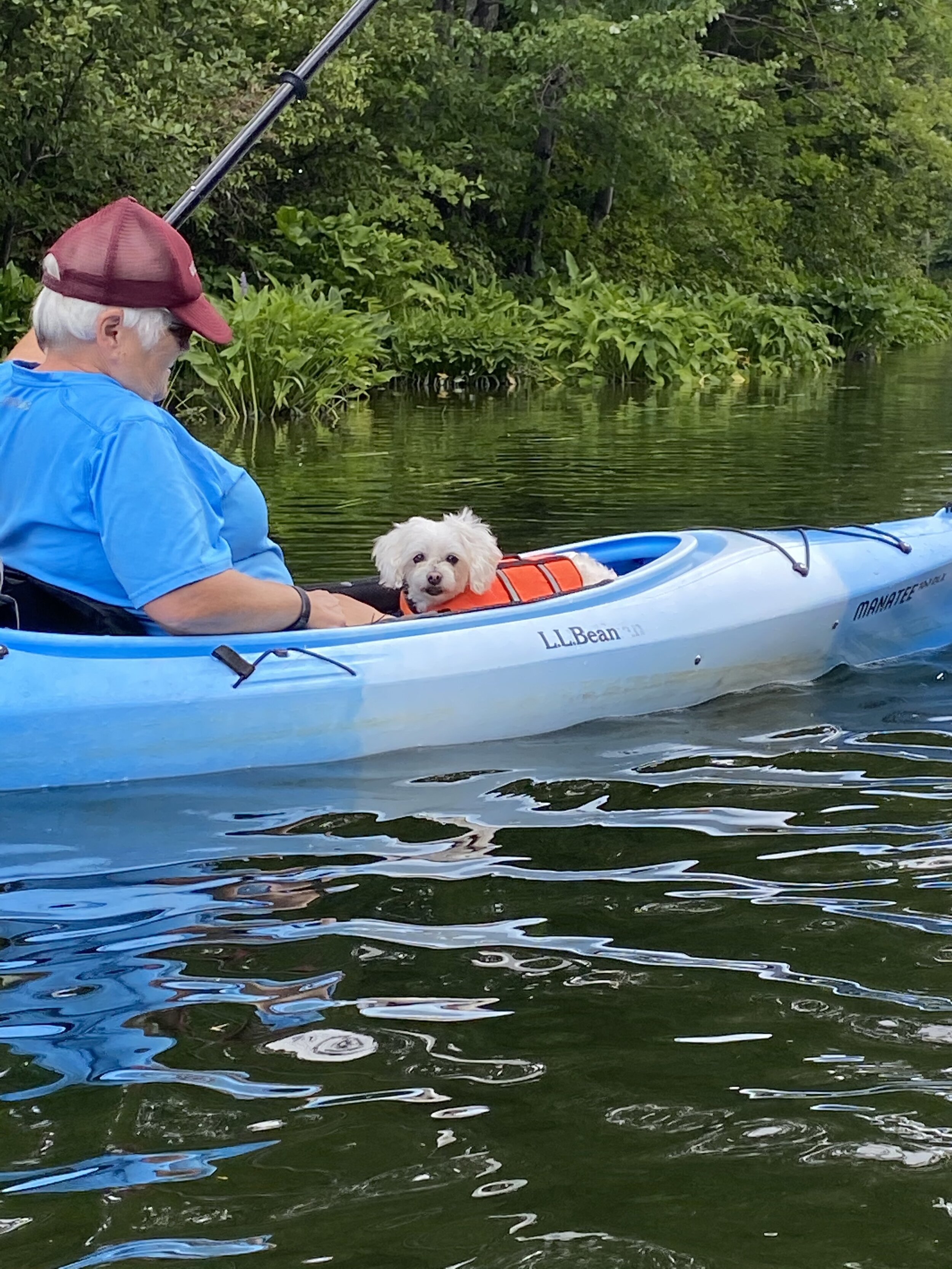
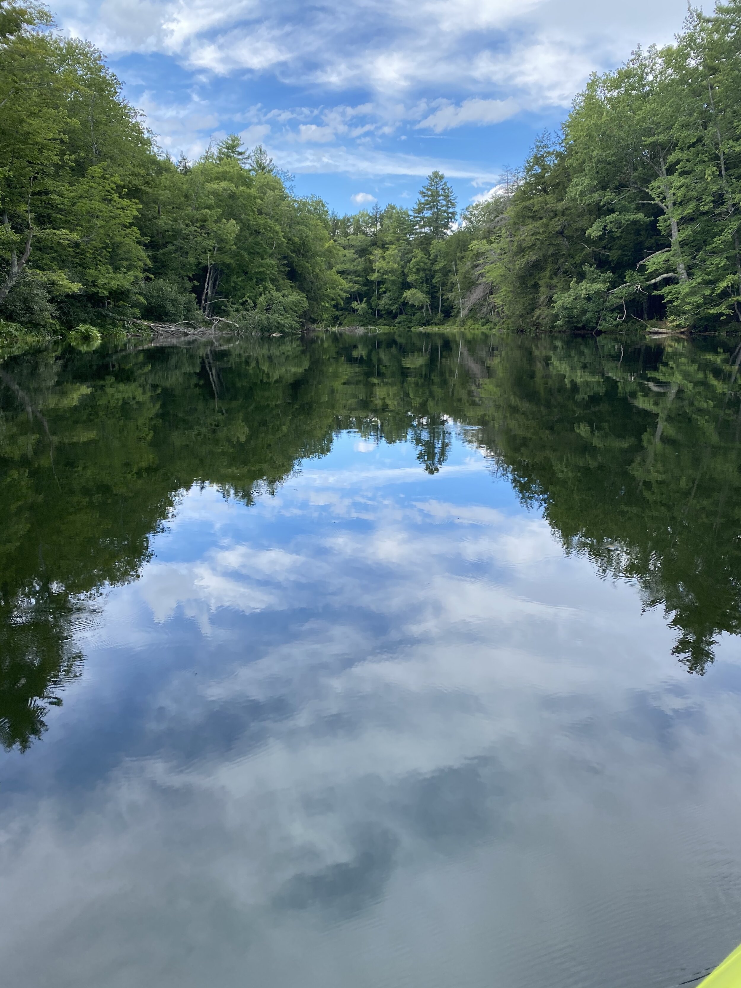
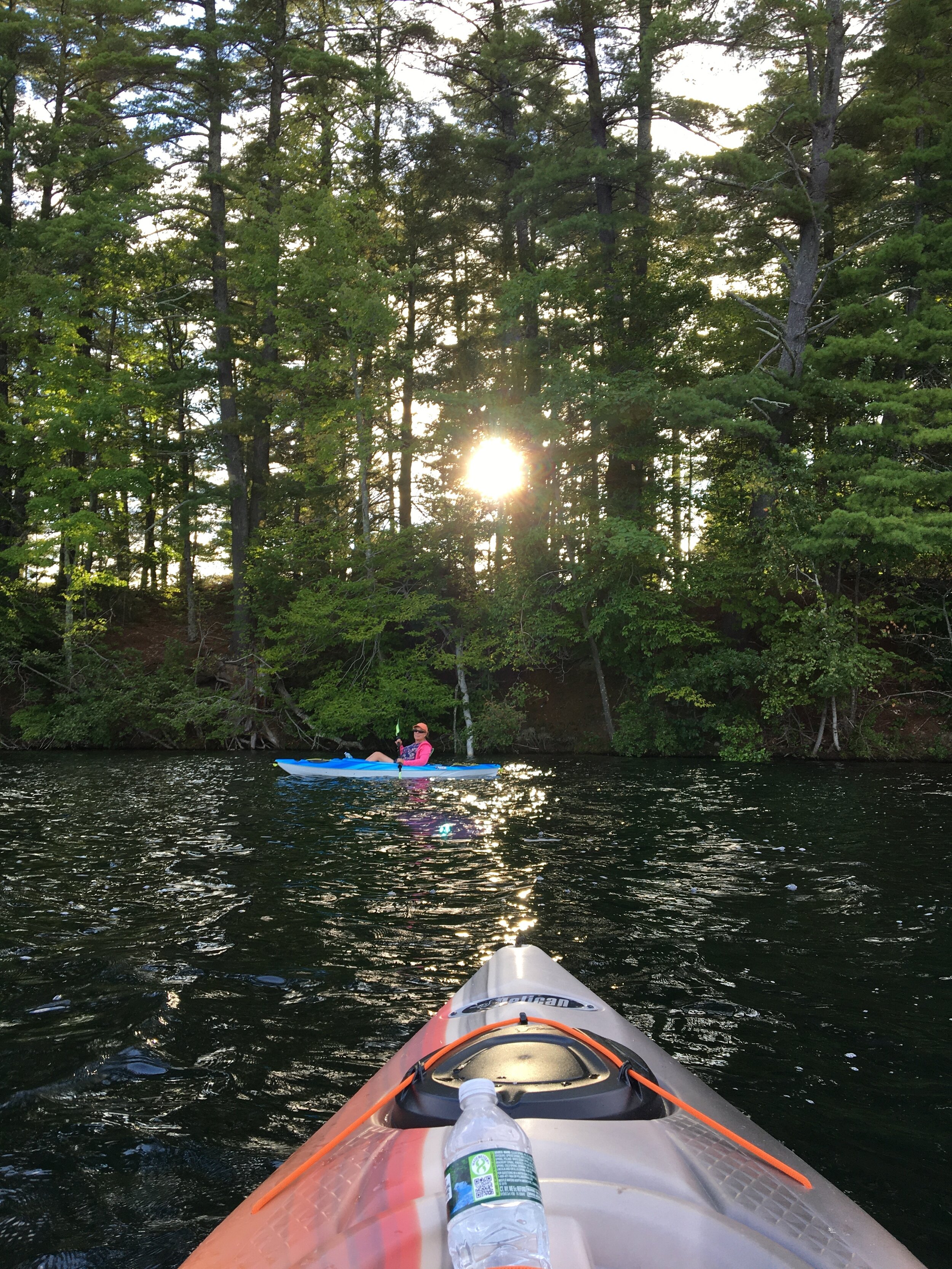
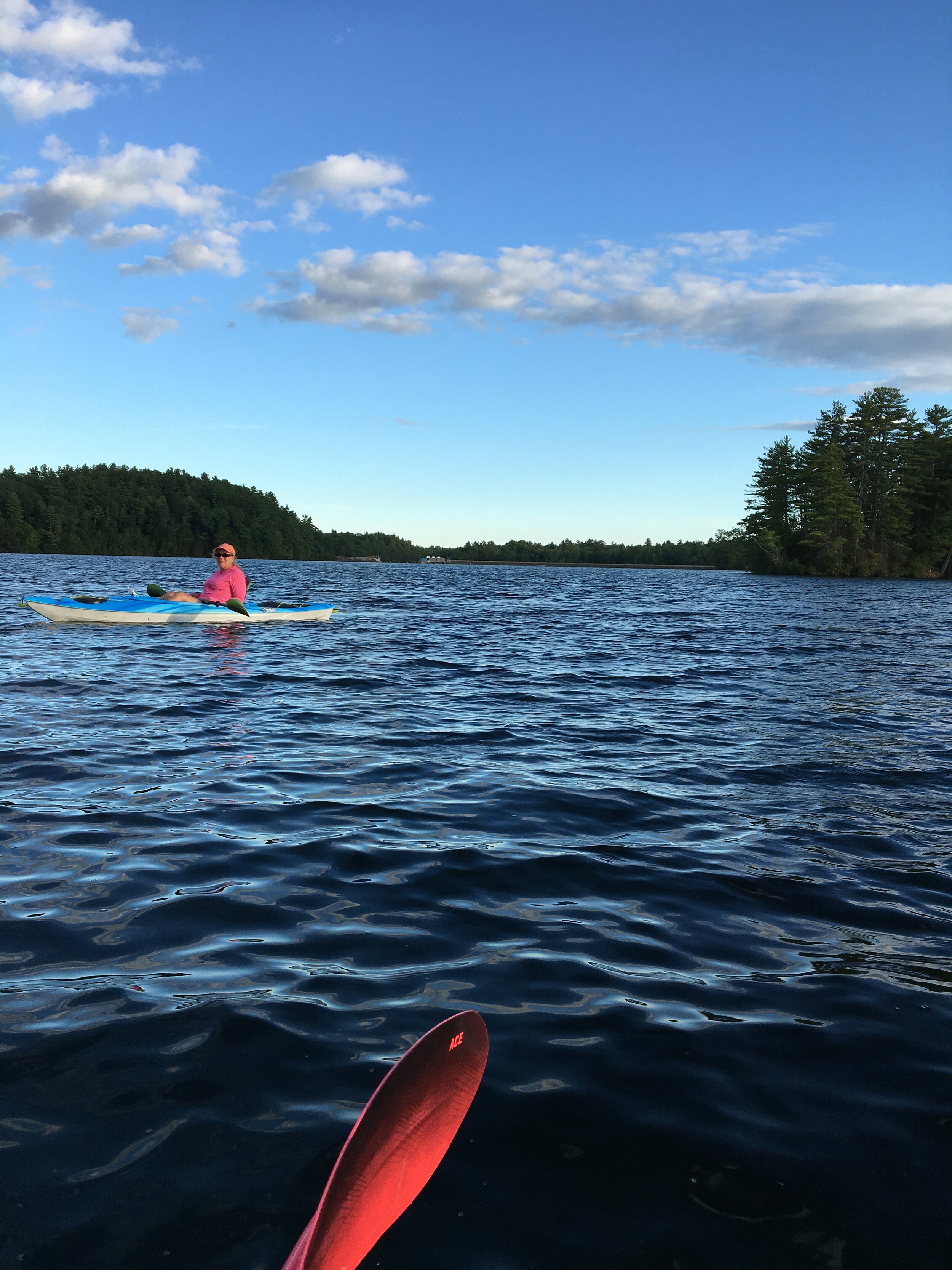
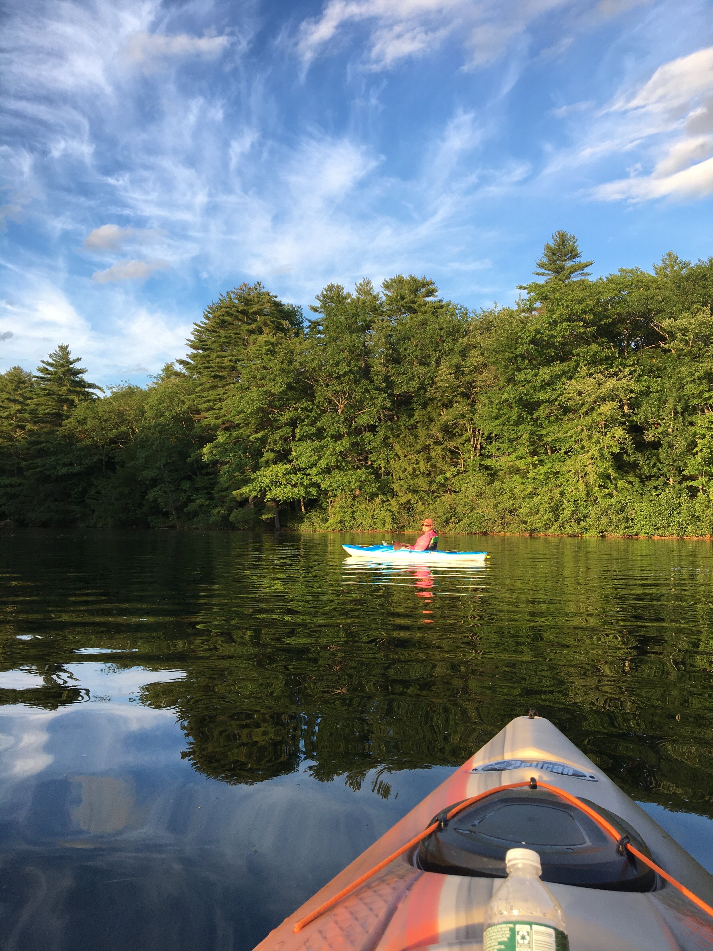
Check out some pictures from our August 2020 Paddle Week below: